
Walk a Round Lake Beach Street
A sound by-address search moves from the street label to the stable land key. Begin with the number, direction, street, suffix, unit, city label, and ZIP as printed. The Lake County property search then ties that input to a parcel identification number, or PIN. Keep the legal description and PIN once found. They can bridge a spelling change, a different postal label, or a weak address index.
- Search Address No plus Street as the assessor's one main search mode. Add unit or ZIP only when useful.
- Open the parcel profile. Copy the situs address, owner, mailing address, PIN, subdivision, lot, block, and tax year.
- Locate the PIN in Lake County Maps Online and check parcel shape and district context.
- Search the Recorder land-record index by PIN, address, party, and legal description. Mark each role and date.
- Use voter records and library sources as separate checks. None alone proves every person at an address.
This sequence makes the street directory a chain of dated evidence, not a guessed household list. If the online deed trail stops, move to Recorder books and the public terminal instead of treating silence as proof.
Search Round Lake Beach by Address
The assessor form has Basic, Advanced, and Map tabs. Its instructions say to use one main mode at a time: Parcel ID, Owner, or Address No plus Street. Combining main modes can fail. Parcel IDs omit dashes, owner names use LastName, FirstName, and wildcards broaden a partial name. The optional ZIP field filters portal data but does not draw village limits.
| Search field | Input | Use |
|---|---|---|
| Parcel ID | Text | Enter without dashes as one main mode |
| Owner | Text | LastName, FirstName; wildcard supported |
| Billing Name | Text | Tax-mail party, not an occupant claim |
| Address No + Street | Text/selectors | Best situs starting point |
| Unit | Text | Optional apartment detail |
| ZIP Code | Text | Optional filter, not a city boundary |
| Filter, sort, results | Controls | Arrange returned parcels |
A result is tied to a tax year. Save that year. The county warns that assessment data can change and bars data mining, so inspect relevant parcels one at a time.
Round Lake Beach Street Record Layers
No public roll lists all people on a block. The useful street directory compares sources keyed by address, parcel, name, date, or precinct. Each has a narrow purpose.
| Source | Key | What it adds | Limit |
|---|---|---|---|
| Assessor | Address, PIN, owner | Owner, situs, mailing, legal and tax fields | Tax snapshot, not all occupants |
| Maps Online | Geometry, PIN | Parcels and district context | Dynamic controls |
| Recorder | Party, PIN, legal, address | Deeds, liens, plats, mortgages | Online from 1980 |
| Village BSA/FOIA | Address, name, PIN | Permit, building, code evidence | No public code-case index |
| Voter records | Street, precinct | Registration fields when supplied | File rules and protected addresses |
| Library | Street, name, year | Maps, news, newsletters | No confirmed criss-cross run |
| USPS | Mailing address | ZIP verification | Postal service, not ownership |
Write down the role and date. Owner, tax-mail recipient, grantor, voter, and permit party are not interchangeable.
Read a Round Lake Beach Parcel
A Lake County profile can show owner, property location, mailing address, PIN, assessment and pay years, living-unit count, neighborhood, class, use, lot and block, legal description, tax status, exemptions, township, municipality, and taxing districts. The inspected Round Lake Beach card also displayed a subdivision and separate government-geography fields. It remains a property record, not a household roll.
- Parcel
- A mapped piece of land with a county PIN.
- Situs address
- The physical property location used by the assessor.
- Plat
- A recorded map defining lots, blocks, or subdivision lines.
- Criss-cross directory
- A historical directory arranged by street and house number.
Compare situs with mailing. Tax mail may go to another city or state. That is not proof about who lives on the parcel.
Map Round Lake Beach Street Parcels
Lake County GIS maintains parcel splits and merges after deeds or plats, corrects legal-document details, initializes PINs, assigns addresses, and maintains district boundaries. Maps Online is the current visual entry point. Lake County Open Data and the Historic Parcel Viewer add context.
Locate a parcel, then carry its PIN into the tax card and deed search. The live viewer's layer and selection labels were not captured as text, so do not assume a buffer or export tool. The assessor profile and recorded legal description are stronger identifiers.
In January and March 2026, the Assessor announced new Maps Online and Tax Parcel Viewer entries. Those current tools strengthen the map-to-PIN step, while each record still needs its date.
Deeds Along Round Lake Beach Streets
The Recorder Advanced search accepts party names, grantor and grantee, document type, number, book and page, parcel, township, property address, remarks, and legal-description fields. Start with an address or PIN, identify the purchase deed, and read party roles. A grantee receives an interest; a grantor conveys it. Other instruments may be mortgages, liens, releases, easements, plats, or resolutions.
The online index begins in 1980. Older work moves to Online Index Books, handwritten grantor/grantee books, and public terminals at 18 N County Street, sixth floor, Waukegan. Terminals run weekdays from 8:30 a.m. to 5:00 p.m. Search is free and copies cost $1 per page. Staff may help start a search but cannot interpret legal effect.
Partial names, the percent wildcard, middle initials, and the names list bridge variants. For old documents with no PIN, try subdivision, lot, block, township, and file number.
Round Lake Beach Recorder Search
The Recorder Advanced Search displays the address and parcel routes used by the Round Lake Beach street directory.
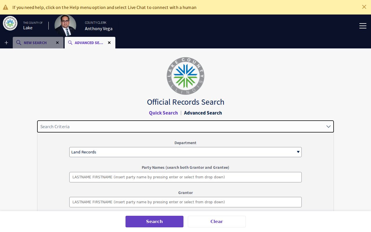
The form moves a street label toward a PIN, party, document number, or legal description and keeps a deed chain tied to the right land.
Round Lake Beach Permits by Street
Village Building and Economic/Community Development holds permits, land-use files, property-transfer and occupancy permits, code records, and vacant-property material. Its BSA Online landing page offers Address, Name, Parcel Number, Building Department, Business Licensing, and Advanced routes. Child forms returned access errors during research, so the fallback is key.
Submit a written Village FOIA request for an existing address record. Include address, PIN, record type, and date range. The Village accepts NextRequest, mail, fax, email, or in-person filing. Ask for permit or code documents, not a new household list.
The Village permit page is the official entry point.
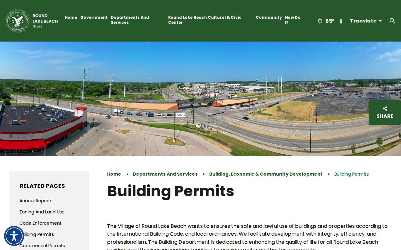
Permit dates explain work at a parcel, but the named applicant is not a full list of residents.
Round Lake Beach Address Geography
Official county material places Round Lake Beach-labeled addresses in 60030, 60046, and 60073. These labels describe service and record geography, not a neat village outline. Use exact address, USPS ZIP, assessor situs and PIN, then GIS municipality and township.
A 2024 Village agenda and Avon packet discussed Fairfield Road and Poplar parcels by PIN. It shows why the PIN and legal description remain useful when annexation may alter a municipal label. Treat it as a proposal unless later approval is found.
Election geography also crosses Avon and Lake Villa precinct labels. Keep precinct, township, ZIP, and village in separate fields.
Street-Order Voter Records
Lake County voter lists can be sorted by street and may contain name, residence, status, registration date, precinct, districts, and participation fields. They do not show ballot choices or sensitive application identifiers. Protected voters may not display an ordinary address.
Public inspection is available through the County Clerk. Electronic files are limited by election law to eligible committees or government entities for approved purposes. Ordinary FOIA does not replace that process. Never infer a full block roster from missing or protected results.
Old Round Lake Beach Addresses
The Round Lake Area Public Library holds maps from selected 1960 through 1999 dates, Round Lake Beach newsletters from June 1981 through summer 1991, newspapers, anniversary binders, and an original Round Lake title-deed binder. Adult Services Reference at 847-546-7060, prompt 4, is the access route. No continuous local reverse-directory run is confirmed.
Search an address and surname in news and newsletters, then record date, page, and spelling. Ask staff to verify the title and year of any in-library directory before citing it. The Round Lake Beach city directory collection page explains this historical shelf.
Note: No verified local street-renaming or renumbering project was found, so check old maps and legal descriptions before claiming one.
Limits of Round Lake Beach Street Records
A tax owner is not the same as a current occupant. A voter record omits many household members. Deeds prove recorded interests, while permits show work tied to an address. Utility data and motor-vehicle addresses do not form a public street roll, and protected records may hide an address.
Use records with care. Keep searches to lawful personal, family, property, or civic research. Never use an address record to stalk, harass, threaten, or harm anyone.
When sources disagree, keep each custodian's exact role and date. A responsible street directory result says "tax owner in the profile" or "grantee on a recorded deed," not "lives here" without support.